Tropical Storm Claudette Updated from NWS
Published 8:51 am Saturday, June 19, 2021
|
Getting your Trinity Audio player ready...
|
Flash Flood Watch
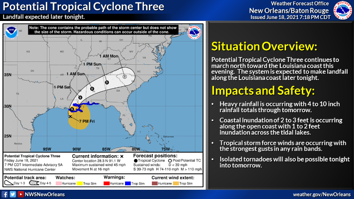
Flood Watch National Weather Service Birmingham AL Calhoun-Cleburne-Tuscaloosa-Jefferson-Shelby-St. Clair-Talladega- Clay-Randolph-Sumter-Greene-Hale-Perry-Bibb-Chilton-Coosa-Tallapoosa- Chambers-Marengo-Dallas-Autauga-Lowndes-Elmore-Montgomery-Macon- Bullock-Lee-Russell-Pike-Barbour- Including the cities of Roanoke, Lanett, Union Springs, Eufaula, Prattville, Montgomery, Dadeville, Phenix City, Valley, Centreville, Moundville, Linden, Hoover, Alexander City, Alabaster, Selma, Fort Deposit, Sylacauga, Heflin, Pell City, Birmingham, Wetumpka, Eutaw, Rockford, Tallassee, Demopolis, Hayneville, Livingston, Lafayette, Columbiana, Ashland, Tuskegee, Opelika, Pelham, Greensboro, Anniston, Talladega, Auburn, Tuscaloosa, Troy, Marion, Moody, and Clanton FLASH FLOOD WATCH REMAINS IN EFFECT THROUGH SUNDAY EVENING... The Flash Flood Watch continues for * Portions of central Alabama, east central Alabama, southeast Alabama and west central Alabama, including the following areas, in central Alabama, Autauga, Bibb, Chilton, Coosa, Dallas, Elmore, Jefferson, Lowndes, Montgomery, Perry, Shelby, St. Clair and Talladega. In east central Alabama, Calhoun, Chambers, Clay, Cleburne, Lee, Macon, Randolph, Russell and Tallapoosa. In southeast Alabama, Barbour, Bullock and Pike. In west central Alabama, Greene, Hale, Marengo, Sumter and Tuscaloosa. * Through Sunday evening. * Heavy rainfall associated with Tropical Storm Claudette will spread across northward today. Periods of heavy rainfall through Sunday will likely produce totals of 2 to 4 inches in the watch area with a few locally higher amounts. PRECAUTIONARY/PREPAREDNESS ACTIONS... You should monitor later forecasts and be prepared to take action should Flash Flood Warnings be issued.
Hazardous Weather Outlook
Hazardous Weather Outlook Marion-Lamar-Fayette-Winston-Walker-Blount-Etowah-Calhoun-Cherokee- Cleburne-Pickens-Tuscaloosa-Jefferson-Shelby-St. Clair-Talladega- Clay-Randolph-Sumter-Greene-Hale-Perry-Bibb-Chilton-Coosa-Tallapoosa- Chambers-Marengo-Dallas-Autauga-Lowndes-Elmore-Montgomery-Macon- Bullock-Lee-Russell-Pike-Barbour- 409 AM CDT Sat Jun 19 2021 This Hazardous Weather Outlook is for the counties served by the National Weather Service office in Birmingham. There is a risk of localized flooding along and south of I-20 as a tropical system moves across the region. There is also a low risk for tornadoes from late this morning through the evening hours associated with an inland tropical system. The threat area is south of I-20. There is a low risk for localized flooding along and south of I-20 on Sunday as the remnants of a tropical system moves out of the area.